
Reports
Cedar Creek Fire Burned Area Report
[10-page PDF]
The Washington Department of Natural Resources Wildfire Associated Landslide Emergency Response Team (WALERT) presentation about geologic hazards due to the Cedar Creek and Cub Creek 2 Fires. See inside presentation for additional links to resources.
WALERT Geologic Hazards Presentation
[29-page PDF]
Maps
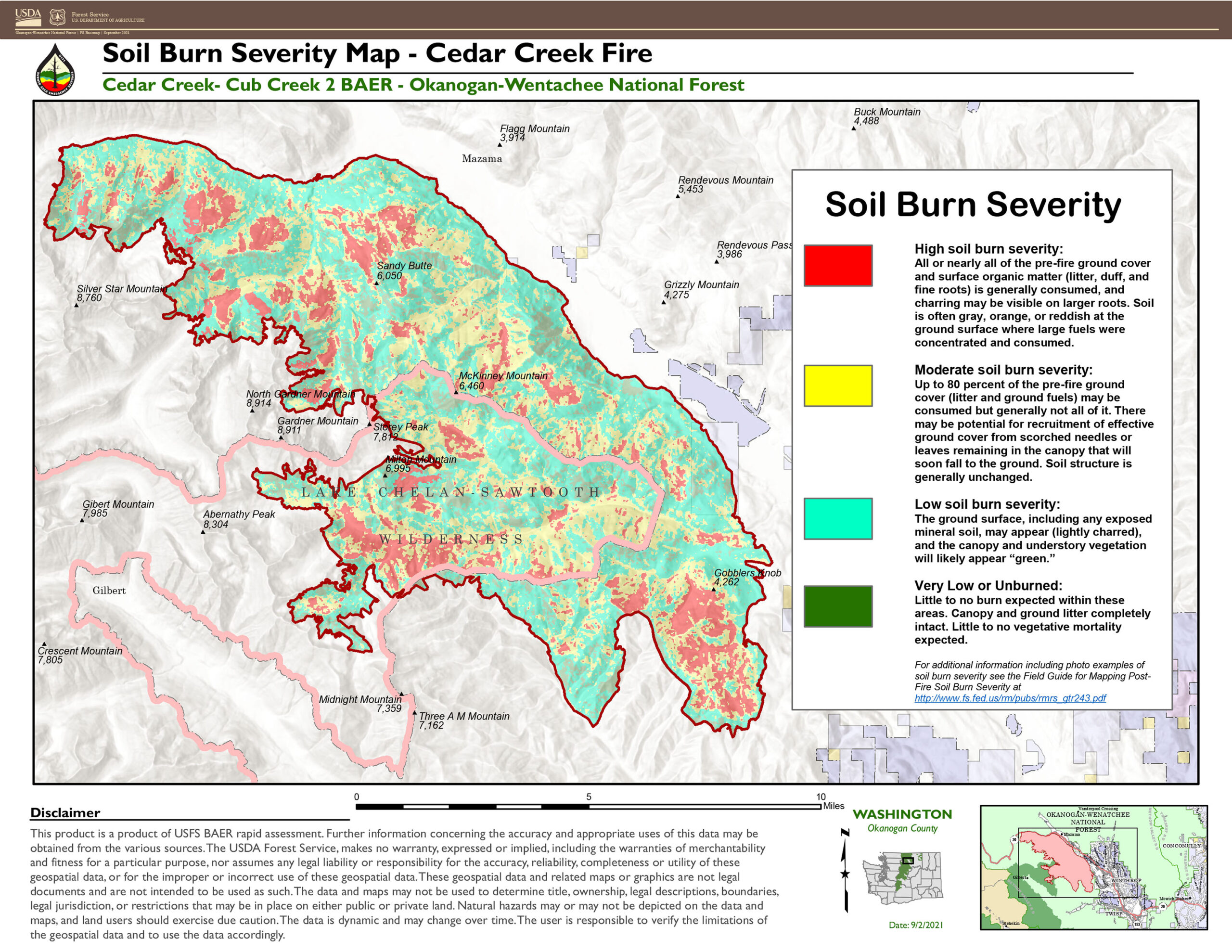
Cedar Creek Fire Soil Burn Severity Map
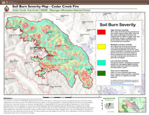
- JPG and PDF format
- A KMZ file will also available to view the map in greater detail in Google Earth (and many other mapping programs). Download the KMZ zip file, then double-click it to extract the KMZ file and save to your computer. Open the Google Earth program. [ If you don’t already have Google Earth, you can download and install it for free HERE. ] Drag the KMZ file onto the Google Earth program icon or main screen (or in Google Earth, click File, Import and select the KMZ file). After the KMZ file loads, you can zoom way in for more detail, change the angle of view, show or hide each burn severity level, and adjust transparency of levels. Click image below for an example screenshot from Google Earth, showing just high severity level.
More Information on Burn Severity Levels
Field Guide for Mapping Post-Fire Soil Burn Severity
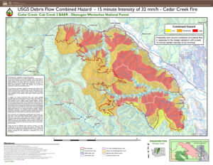
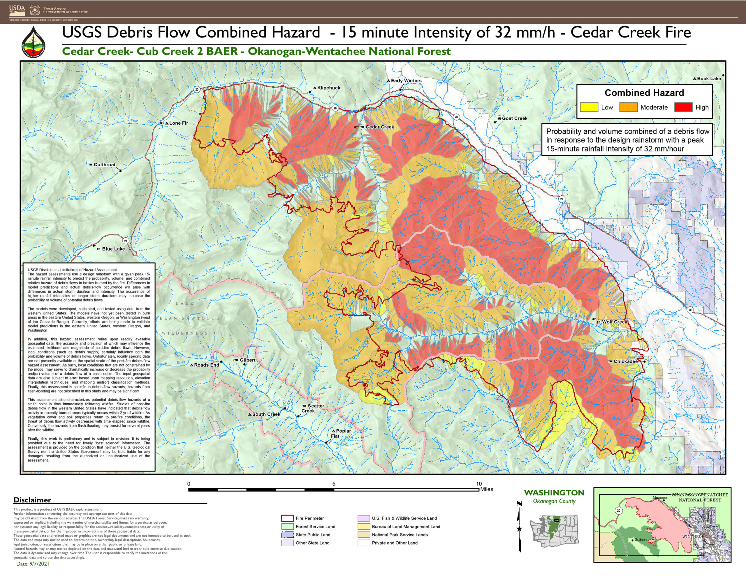
Cedar Creek Debris Flow Hazard
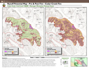
Cedar Creek Runoff Potential – Pre and Post Fire
Disclaimer: This product is reproduced from information prepared by the USDA Forest Service or from other suppliers. The Forest Service cannot ensure the reliability or suitability of this information for a particular purpose. The data and product accuracy may vary due to compilation from various sources, including modeling and interpretation, and may not meet National Map Accuracy Standards. This information may be updated, corrected or otherwise modified without notification.